
Walk a King County Street
A reliable street directory search builds one address at a time. King County has no verified public button that returns every resident on a named street. The parcel map provides the physical frame, the Assessor names owners of record, and Landmark connects those owners with recorded transfers. Voter data and reverse directories can add dated residence evidence, but neither is a complete household list.
- Enter the situs, or physical, address in eReal Property. Save the parcel number, owner, legal description, and jurisdiction.
- Open the address or PIN in Parcel Viewer. Click lots along the street, then use line, area, or buffer selection to assemble a parcel list.
- Check lawful election sources for voter-address evidence. A registration does not prove that every occupant is listed.
- Search each owner in Landmark as grantor, grantee, or both. Narrow by document type, date, parcel, and legal description.
- For an older Seattle address, consult a house-and-street directory, then confirm each name in the alphabetic volume, census, or newspapers.
This chain prevents a common error: calling the recipient of tax mail a current resident. The owner may receive mail elsewhere, and one parcel may contain several units. Preserve the PIN and date through every step.
King County Situs Address First
The King County property research page leads to eReal Property, where an address, owner, or parcel number can open a detail record. Use the situs address, which is where the parcel sits. A mailing address is only where assessment and tax correspondence goes. It may be a post-office box, an agent's office, or a place outside King County.
| Search field | Street use | Limit |
|---|---|---|
| Parcel or PIN | Links the same land unit across portals | Landmark uses the first ten digits |
| Situs address | Locates the physical parcel | May differ from mailing address |
| Owner name | Supplies a party for deed research | Does not prove residence |
| Mailing address | Shows where county notices go | May be outside the county |
| Legal description | Links plats and older instruments | Uses lot and plat language |
Property Detail can also show jurisdiction, land size, present use, building count, square footage, age, and assessment data. Those facts describe a parcel, not everyone behind its doors.
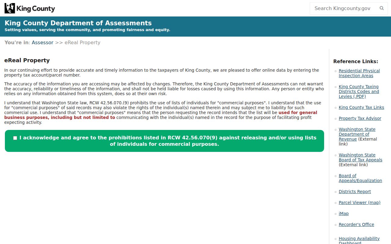
See the live King County eReal Property search before using its fields.
Map King County Streets by Parcel
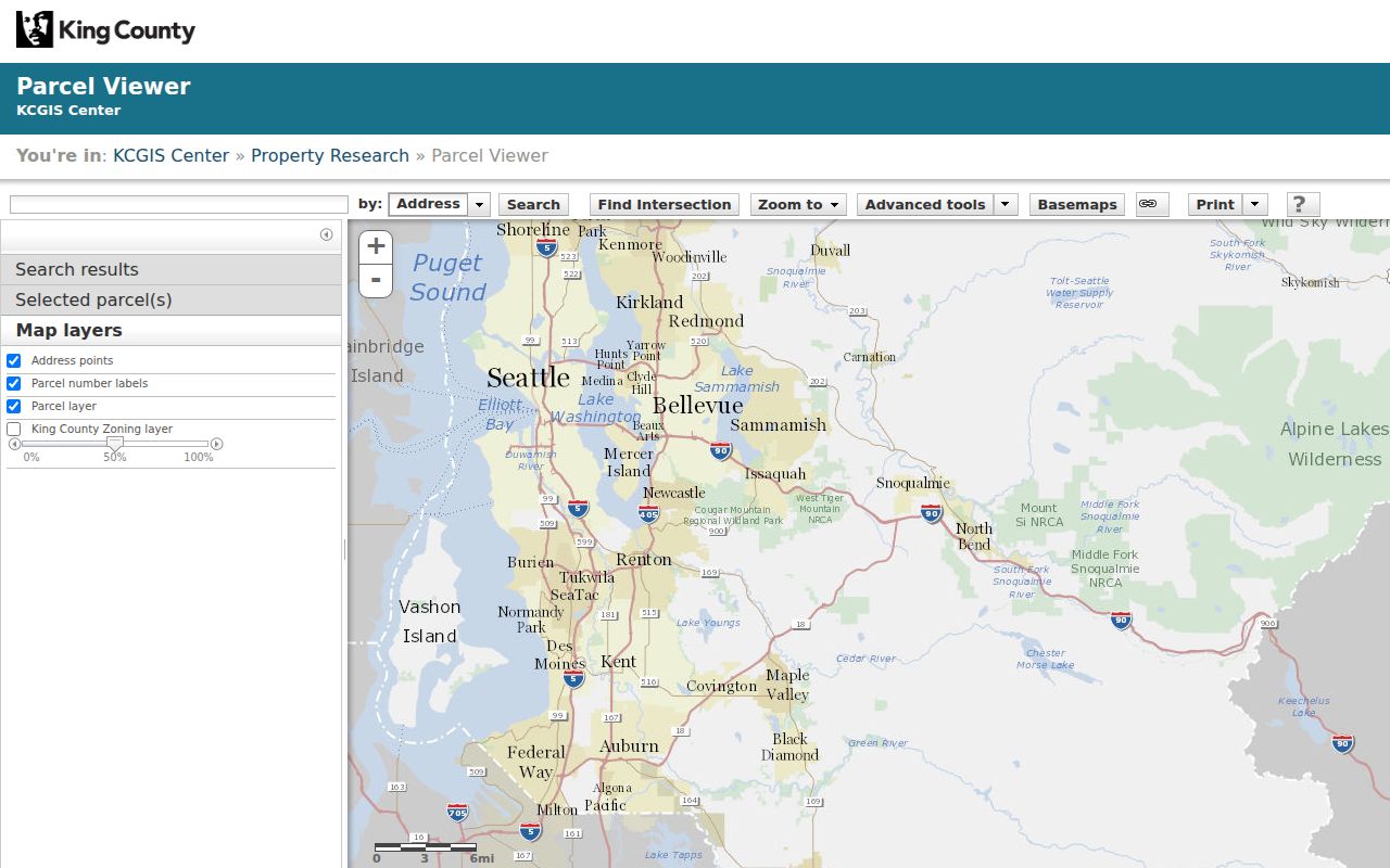
The King County Parcel Viewer turns one address into a set of mapped lots. Search by parcel number, address, condominium name, or map selection. A result links to Assessor, district, and development-condition reports. Buffer distance, line selection, area selection, and export controls help form a street-by-street work list.
Parcel Viewer is a geographic index, not a legal survey. Lot lines are approximate. Roads, common areas, tax-exempt land, merged lots, and condominium parcels can sit beside homes. Count parcels as parcels, not people. The King County iMap adds intersection and landmark search plus more than 100 layers in over 12 groups. Dates vary by layer, so save the metadata date used.
The public Parcel Viewer image below shows the map-centered search surface.
Link King County Owners to Deeds
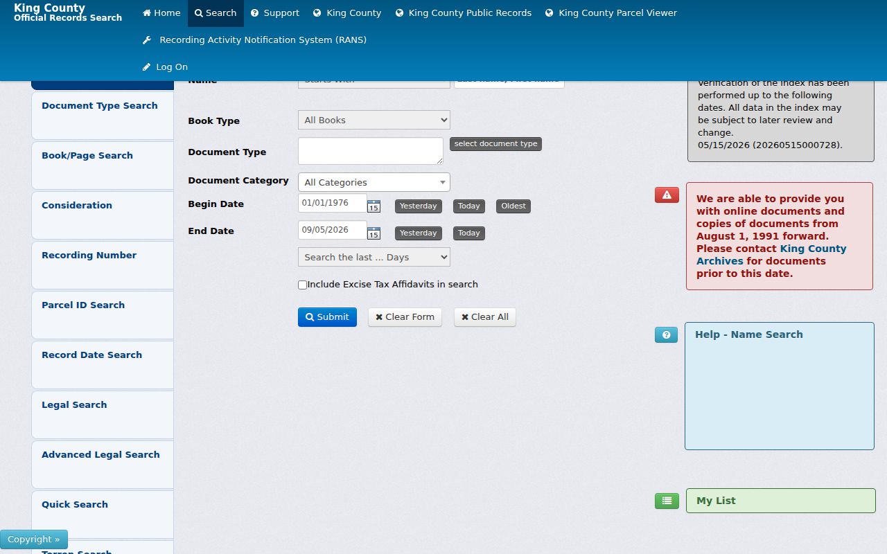
Once the Assessor supplies an owner, the Landmark index can test that name against deeds, mortgages, easements, plats, surveys, liens, and other instruments. Name mode expects last name, comma, first name. Party type offers grantor, grantee, or both. Match type can start with, contain, or equal the text.
Most online documents begin August 1, 1991. Parcel-ID searching has the narrower 1997-to-current span. Earlier property documents, from 1853 through July 31, 1991, are on microfilm at King County Archives. The research room is appointment-only for most material, though recorded-document microfilm needs no appointment. Remote copies and phone or email help are alternate channels.
Review the Landmark screen shown here before selecting role and document type.
Index searching is free. Online copies use an account and cart. Certified copies are mailed. No current per-page copy fee was verified, so ask the Recorder before ordering.
King County Street Record Coverage
A useful King County street directory keeps each record type in its own column. Ownership, map location, recorded-party status, registration, permits, and a historic listing are related, but not interchangeable.
| Address record | Keeper | What it can show | Access |
|---|---|---|---|
| Assessment | King County Assessor | Owner, situs, mailing address, PIN | Free eReal Property |
| Parcel map | KCGIS | Geometry, adjacent PINs, layers | Parcel Viewer and iMap |
| Recorded instruments | King County Recorder | Parties, deed dates, plats, liens | Landmark, counter, mail, phone, email, or microfilm |
| Voter evidence | King County Elections | Statutory voter fields | Individual lookup or controlled data request |
| Permits and cases | Local Services or a city | Site, case, project, applicant | Jurisdiction-specific search or request |
| Reverse directory | Seattle Public Library | Dated person or business listing | Seattle Room and librarian help |
The My Voter Information form returns one voter's ballot details after matching personal fields. Broader data comes through Elections under RCW 29A.08.710 with required statements and use limits. Neither route is an unrestricted resident list.
Route King County Address Records
County permit and code systems generally cover unincorporated King County. The permit-records research route covers active, finalized, and closed files for county jurisdiction. Email requests ask for property information and requester contact details. The code-enforcement search accepts parcel, site address, or case number.
A Seattle, Bellevue, or other incorporated address should go to that city's office. Recent boundaries matter. Five Duvall Big Rock Park parcels have an effective annexation date of January 1, 2026, so today's office may not have created an older permit.
Note: Save jurisdiction and effective date beside each result so a boundary change does not break the King County street record chain.
Read Old Seattle Streets in Reverse
A criss-cross directory arranges entries by address, not surname. The earliest identified Seattle House and Street Directory is from 1928, while full reverse runs are identified from 1938 onward. The Seattle Room is therefore useful when a modern parcel must move backward to a listed household or business.
Start in the street section, record the name and page, then verify the person in the alphabetic volume. The full holdings belong with the King County city directories, but the street directory method is address first, name second. Genealogy librarians provide free help in person, by phone, and virtually.
Note: A directory line shows one publication year's listing, not continuous residence before or after that edition.
Repair King County Address Changes
A failed search may reflect a changed street, number, or boundary. Georgetown Ordinance 50, dated August 8, 1904, concerned building numbering. Seattle Municipal Archives street-name aids cover 1908 through 1986, while its annexation map reaches back to 1869. Ballard, Columbia, Georgetown, South Park, West Seattle, Ravenna, and other places crossed city contexts.
The King County real-property cards bridge those changes. Their 1937 to 1972 fields include house number, street, addition, former building number, former street, former address, parcel, and notes. The 82,420-record series may include exterior photos, construction notes, and sketches, but not every owner or purchase price.
King County Street Directory Terms
Similar labels can point to different evidence. Define them before merging a map row with a deed or directory entry.
- Parcel
- A mapped land unit with a county PIN.
- Situs address
- The physical property location, distinct from its tax-mail address.
- Plat
- A recorded map dividing land into lots, blocks, roads, or easements.
- Criss-cross directory
- A directory arranged by street and house number for address-to-name searching.
Legal descriptions and PINs often survive a changed street label better than its current mailing form. Keep both when walking the King County street directory backward.
Limits of King County Street Records
No official King County source offers a complete current list of everyone living on a street. Assessor and deed records concern owners and recorded parties. A voter source concerns registrations within legal limits. A reverse directory preserves a dated listing. E911-derived GIS address-point counts do not equal households. Condominiums may have one point, while small multiunit buildings may have several.
Washington's Address Confidentiality Program shields substitute-address information for eligible participants. Protected source addresses, sealed files, driver records, and private utility details are not opened by a street directory. When results conflict, rely on the record's purpose and date instead of guessing who currently lives there.
Lawful use. Use King County address records for lawful personal research, property history, and civic understanding. Never use them to stalk, harass, intimidate, or harm anyone.
Keep the date of every search and preserve the parcel number behind each address. King County maps, assessment rolls, recorded documents, and printed directories update on different schedules. When two sources disagree, the dated source and the custodian’s record description show which fact each result can support.